When Is The Rain Expected To Stop In Southeast Queensland?

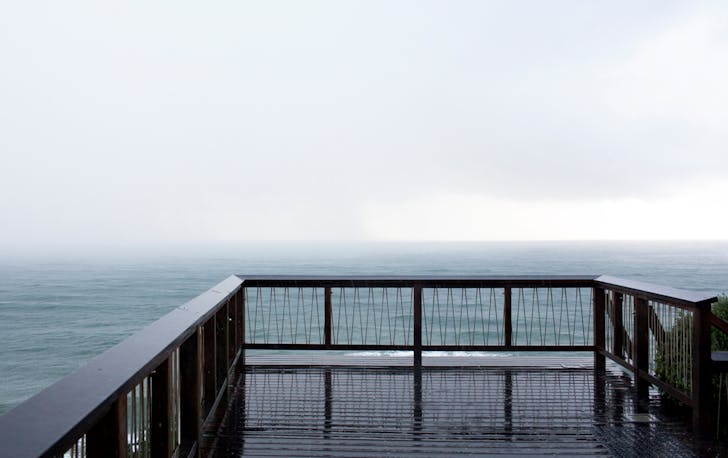
If you’re currently staring out the window at another grey wall of rain across Southeast Queensland, bored out of your gourd, you’re not alone. A slow-moving tropical system has parked itself over the state, dumping heavy rainfall and triggering widespread flood warnings across multiple regions.
Here’s what to know about when the rain is expected to ease, which areas are most affected, and the hazards authorities are warning about right now.
So, When Will The Rain Stop?
According to the Bureau of Meteorology, the worst of the rain is expected to hit through Sunday and into Monday, with conditions gradually easing from Tuesday as the weather system moves offshore.
That means Southeast Queensland could still see periods of heavy rain and storms through early this week, before things settle into a more stable pattern with only scattered showers.
Why It’s Been So Wet
The soaking weather is being driven by a tropical low that crossed the Queensland coast near Innisfail, bringing significant rainfall as it tracks south through the state.
These systems are notorious for dragging moisture inland and slowing down, which is exactly what’s happened here. The result: days of persistent rain, thunderstorms, and rapidly rising river levels.
Current Weather Warnings
Authorities have issued multiple alerts across Queensland as the system moves south.
At the time of writing, warnings include:
- Severe weather warnings for heavy rainfall
- Flood watches across much of Queensland
- Minor to moderate flooding expected in several river systems, with isolated major flooding possible
Emergency services are urging residents to stay across updates as conditions evolve.
Areas Currently Affected
The heaviest rain and flood risk are impacting large parts of Southeast and Central Queensland, including:
- Brisbane
- Sunshine Coast
- Gold Coast
- Wide Bay–Burnett region
- Darling Downs
- Maranoa and Warrego
- Parts of the Central Highlands and Coalfields
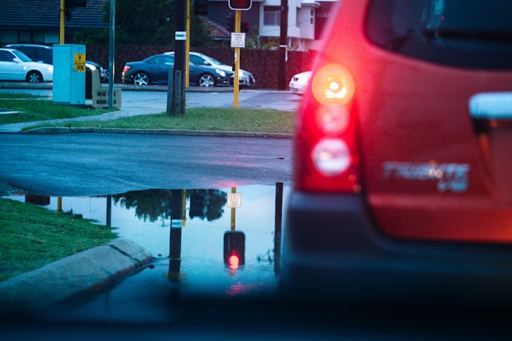
Rainfall totals have already been significant, with some areas recording well over 150mm within 24 hours, and further bursts are still possible.
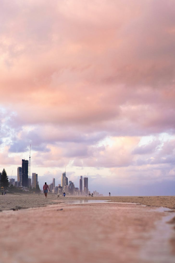
Image Credit: Cameron Voyce
Common Hazards To Watch Out For
Even once the rain starts easing, conditions can remain dangerous. Authorities say the main risks currently include:
Flash flooding
Heavy downpours can overwhelm drains and creeks quickly, particularly in urban areas.
Riverine flooding
Rivers and dams across the state are already under pressure, with some waterways approaching flood levels.
Dangerous roads
Flooded streets and highways remain one of the biggest risks during events like this. Emergency crews continue to urge drivers to use common sense. If it’s flooded, forget it.
Rapidly changing storm conditions
Thunderstorms embedded in the rain bands can bring sudden heavy bursts, strong winds, and lightning.
The soggy run isn’t over just yet. Southeast Queensland is likely to see rain and storms linger through Monday, with conditions starting to improve from Tuesday as the system moves away.
Until then, keep an eye on local warnings, avoid flooded roads, and prepare for a few more days of umbrellas, puddles, and very soggy sneakers.
What's On In The "Sunshine" State

A Brisbane Local’s Guide To Dating In The Wild

Brisbane’s Best Irish Pubs To Celebrate St. Patrick’s Day

All The Brisbane Travel News And Holiday Deals You Need To Know
See more Urban List in Google Search.